Thirlmere and Harrop Tarn Walk
Date Updated:
Recommended Map: Explorer OL5
Free Postage & Packaging – Buy here to support our Free Walk Guides
| Difficulty Rating:
Family Walk Danger Rating: |
Time to complete: About 1.5 hours
Distance: About 4 km (2.5 miles) |
Car Parking/Walk Start:
Dobgill Car Park (western side of Thirlmere) |
Overview of Walk:
A good family walk, whatever the weather as much of it is sheltered by coniferous trees. There is a short but steep ascent at the start of the walk. Young children should be warned of the ravine at the waterfall at Dob Gill.
| Refreshments:
Non en route but numerous facilities in Grasmere and Keswick. |
Wheelchair and Push Chair Suitability:
The walk shown is not possible although it is possible (but hilly) on all of the pink forest tracks shown on the map. You might find a limited parking space next to the road close to Hause Point. |
Public Transport:
Bus service 555/556 – from A591 south eastern end of Thirlmere (so will make it a longer walk) |
Thirlmere and Harrop Tarn Walk Description:
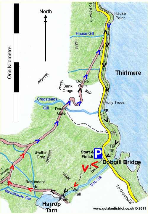
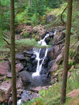
 At Dobgill Bridge Car Park, leave it at the southern end going up on the stepped footpath. Continue on the paved path which steeply ascends through the forest to the thunderous waterfall at Dob Gill which should be reached in about 15 minutes. Children in the group should take care near the edge of the ravine.
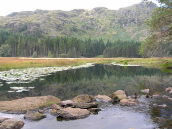
Continue on upwards, as the going gets a lot easier. You are soon at Harrop Tarn where you need to turn right onto the forest road.
You soon start heading uphill again. Stay on this forest road, ignoring tracks off to the left (including one for Watendlath).
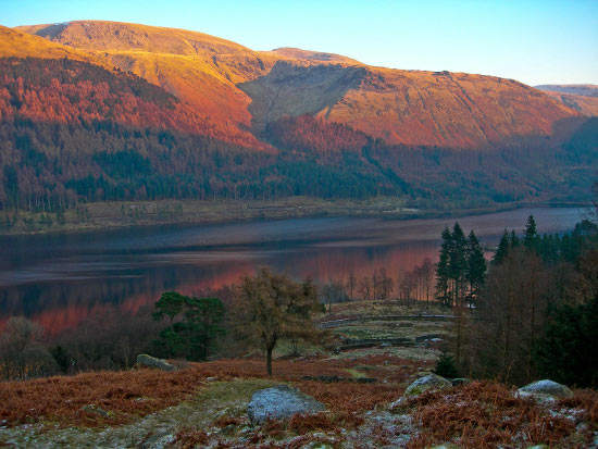
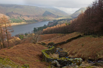
 You descend down to a double gate on the forest road. If it comes on rain, there’s a useful short cut back to the car park by turning right in between the gate and Cragsteads Gill, following the line of the deer fence. However, our route continues descending on the main forest road enjoying the views over Thirlmere, Helvellyn and Steel Fell.
When you reach the minor road around Thirlmere at the bottom of the forest, turn left, heading to Hause Point. When at Hause Point, go through the gate and follow the lakeshore path back in a southerly direction to the car park.
 You will notice what looks like a castle on the other side of Thirlmere; this is actually a station controlling the flow of water from the dam (see points of interest).
There are little features to get your bearings along the lakeshore and visibility to your right is limited. You pass several becks and go through a young Holly plantation; a peculiar choice of plant next to a footpath. Further on, you reach a point where the lakeshore looks like it could be a small natural harbour. At this point you may notice the car park to your right, through the trees. Basically, go over a couple of footbridges and follow the path back to the minor road around Thirlmere and you should be directly opposite the Dobgill Car Park.

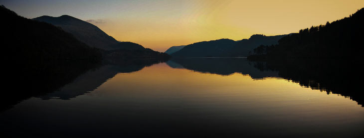
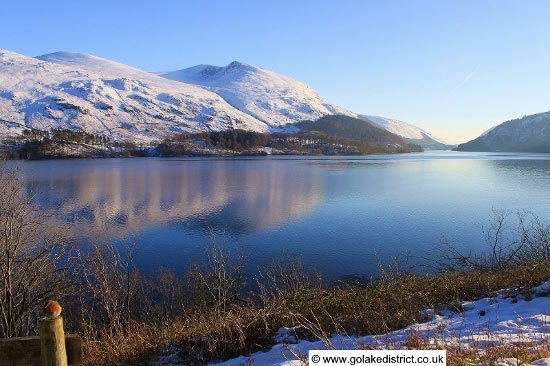
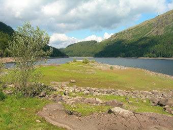 Points of Interest: Thirlmere is a man made reservoir constructed from two smaller lakes, which submerged the villages of Amboth and Wythburn. It was built by the Manchester Corporation in 1894 to provide drinking water 96 miles away in the Manchester area. The level of the water is 16 metres higher than the height of the two former lakes. At the northern end of Thirlmere is a dam of 261 metres.
It is the longest gravity-fed aqueduct in the country (there are no pumps along its route). The water flows at walking speed and takes about a day to reach Manchester. The level of the aqueduct drops by approximately 30cm per km (20 inches per mile) of its length. At the start of route there is a tunnel under Dunmail Raise.
Rate This Walk
User Review
( votes)0 = worst; 1 = disappointing; 2 = average; 3 = a really good walk; 4 = I recommend this walk; 5 = one of the best walks I’ve done
Here’s a selection of products you might find useful in this area of the Lakes:
Whilst we try our very best to ensure the accuracy of this information, we accept no liability for anyone getting lost or injured. You should always consult your ordnance survey map for exact details and wear appropriate clothing for the weather conditions.
